Locals share their favorite paths for marathon training, exploration, and more.
At any hour, you’ll find people of all backgrounds running through Amsterdam’s crevices, a showcase of the city’s thriving and connected running culture, says Jay Breidel, a local personal trainer and marathoner.
With 165 canals (compared to Venice's 150), dozens of parks, and more than a thousand bridges, Amsterdam is ideal for outdoor miles. Here, Breidel and a few other tastemakers in the city's running scene offer their favorite routes.

Run this route for: waterfront views
Distance: 13.3 miles
Route type: out-and-back
The Amstel River flows through Amsterdam, stretching close to 20 miles. A parallel path (for pedestrians and cyclists) provides views of the water on one side. The other is lined with sunflower fields and horse-, goat-, and sheep-filled farmland.
Breidel, a former world champion Thai boxer who transitioned to running a decade ago, says these uninterrupted miles are perfect for marathon training. You'll encounter fewer cars and pedestrians than you would along the canals.
Directions:
Start at the northeast entrance of Vondelpark at Stadhouderskade. Continue on Stadhouderskade until you reach Amsteldijk, the road beside the Amstel. Run straight until you reach Brug Oranjebaan. Cross the bridge and run north along the other side of the river back to start.

Run this route for: shaded greenery
Distance: 12.4 miles
Route type: loop
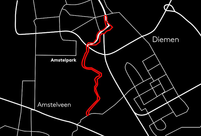
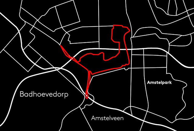
Three times the size of New York City’s Central Park, the Amsterdamse Bos is one of Europe’s largest parks. It’s also where five-time marathoner Jasper van der Ploeg likes to go for long runs. The parks paths are advantageous since the trees provide shade and you’ll get a breeze from the nearby water, he says.
Located south of the city center, this man-made landscape is full of lush, grassy meadows. With 85 miles of footpaths, it’s a natural playground for any runner. Orange posts throughout the park mark 10K and 13-mile running trails.
“I’ve stopped counting the number of times I’ve run here and still find that there’s something new to discover,” says van der Ploeg, a member of the Niekies, a local elite team.
Directions:
Start along the Schinkel and follow signs toward Nieuwe Meer while going under the A4 highway. When you reach the end, turn the corner and follow the Ringvaart. Go under the A4 highway bridge again. At the first point you can cross the water (Langsom), go left. Follow signs for Nieuwemeerdijk until you pass the A9 highway. Make two left turns, and return to start.

Run this route for: a sense of the city
Distance: 3.3 miles
Route type: point-to-point
Roughly a third of Amsterdam sits below sea level and it's land is mostly flat, a terrain type that Running Junkies co-founder Elly Tan favors. That, coupled with mild weather year round, makes running outside in Amsterdam unapologetically convenient, Tan says.
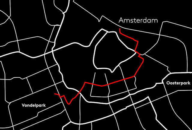
Vondelpark, the city's most popular green space, is flanked by world-famous art museums. Tan says passing through the park is a can’t-miss experience before running through the famous canal rings.
Directions:
Start at the northeast entrance of Vondelpark. Continue through Museum Square, where you can view The Royal Concertgebouw (the concert hall) and three prominent museums: Stedelijk, Van Gogh, and Rijksmuseum. Continue under the Rijksmuseum, then along the canals to the Magere Brug, which translates to Skinny Bridge. From there, continue along the Prinsen Canal to the ARTIS Amsterdam Royal Zoo. The route traces Oosterdokskade, a boulevard where you’ll spot Sea Palace, a Chinese pagoda-style restaurant, and finishes at Central Station with a nice view of Amsterdam-Noord, the city's northern section.

Run this route for: village vibes
Distance: 6.4 miles
Route type: loop
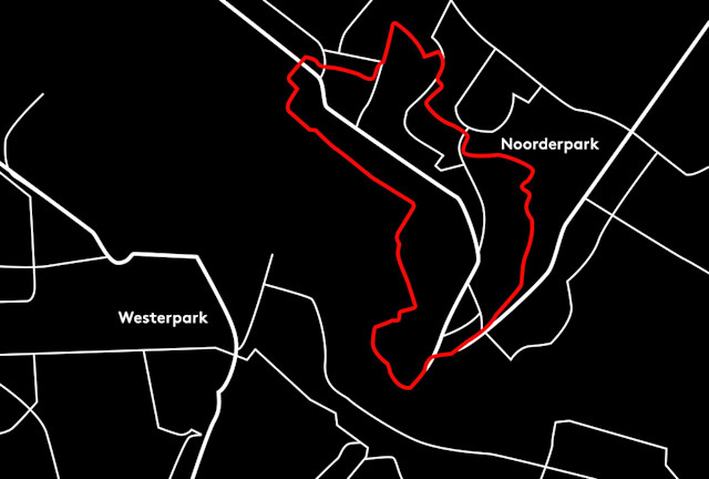
Anniek Geven, a member of urban crew Patta Running Team, suggests crossing the IJ river to experience Amsterdam-Noord, a village known to locals as the Brooklyn of the city. The up-and-coming neighborhood is part industrial and peppered with art studios, artisan shops, and craft breweries, like Oedipus.
A five-minute ferry crossing the IJ operates 24 hours a day. Board the ferry at Central Station to run the village’s quiet paths, with ample nature and a signature Dutch windmill along the route. Getting lost is difficult, since the paths are marked with silver running icons on the ground. “It’s a good thing that these footpath initiatives are in place," she says. "You can just run everywhere."
Directions:
Start at the corner of Tolhuistuin, located on the left after exiting the Buiksloterweg ferry. Run toward the Eye Filmmuseum on the northbank. Follow the path through OeverPark. Exit the park on the right and run east. You’ll come across the NDSM neighborhood, a former industrial shipyard and current haven for restaurants and bars. The loop finishes with a stretch through Noorderpark.
